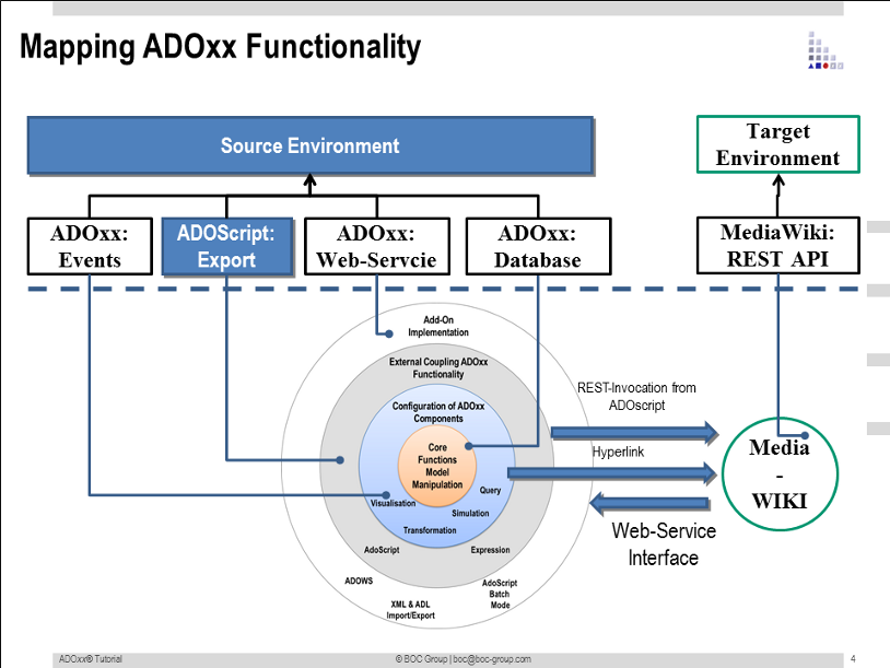
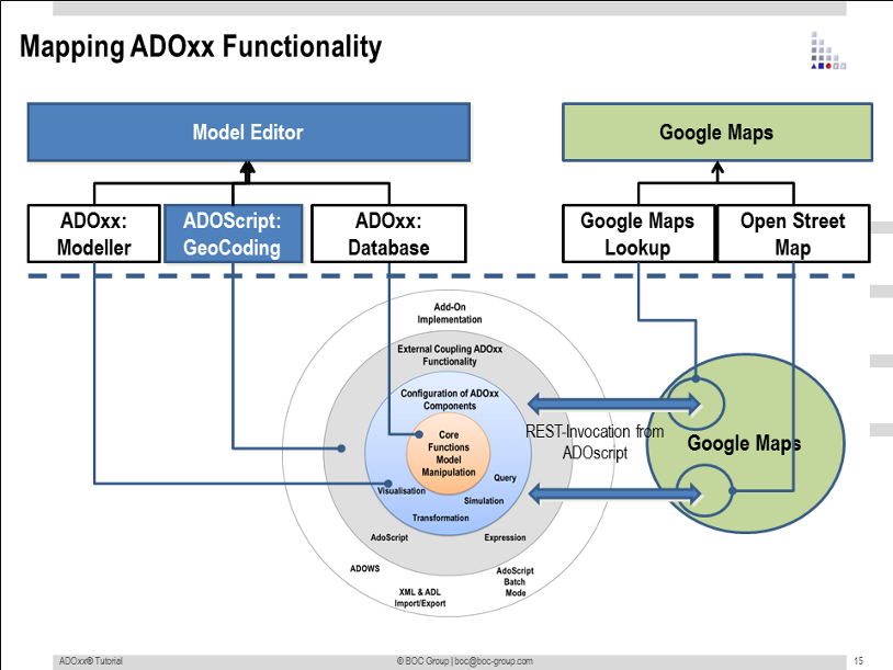
The following Scenario gives an introduction how to invoke external services into your modeling language by the two examples:
- Wiki Interaction
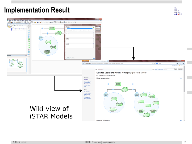
Models defined using the i* implementation in ADOxx are made available in a MediaWiki environment. - Google Maps Interaction
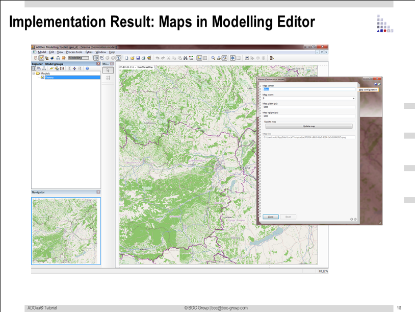
Models defined for the design of supply chain distribution networks are enhanced with geolocation data using the Google Maps WS and Open Street Map WS
The scenario consists of two parts. Part I discusses some theretical/conceptual aspects of the Interaction with external services. Part II provides a step-by-step hands-on guide for the implementation of the external service invocation.
Download:
Documentation Slides:
API_Web-Service Invocation.pdf Libraries:
iSTAR v1.0.abl Geolocation Library.abl Models:
iSTAR v1.0 Example Models.adl GraphReps:
1) iSTAR
GRAPHREP_Softgoal.leo 2) Geolocation
GRAPHREP_ModelType.leo AttrReps:
1) iSTAR
ATTR_Actor.leo ATTR_Agent.leo ATTR_Aggregation.leo ATTR_Belief.leo ATTR_Goal.leo ATTR_Model Attribute iSTAR Model Attributes.leo ATTR_Note.leo ATTR_Position.leo ATTR_Resource.leo ATTR_Role.leo ATTR_Softgoal.leo ATTR_Task.leo 2) Geolocation
ATTRREP_ModelType.leo
AdoScript:
1)iSTAR
AdoScript 2) Geolocation
AdoScript Concept:
 Result:
